Field work in the Ferris Formation, Wyoming
Recently, I conducted some field work in the Hanna Basin, Central Wyoming. The Hanna basin records intermontane sediment dynamics during the Paleozoic–Early Mesozoic time. Cretaceous/Tertiary deposits are fluvial and alluvial fan deposits, since rotated to nearly 90 degree dip.
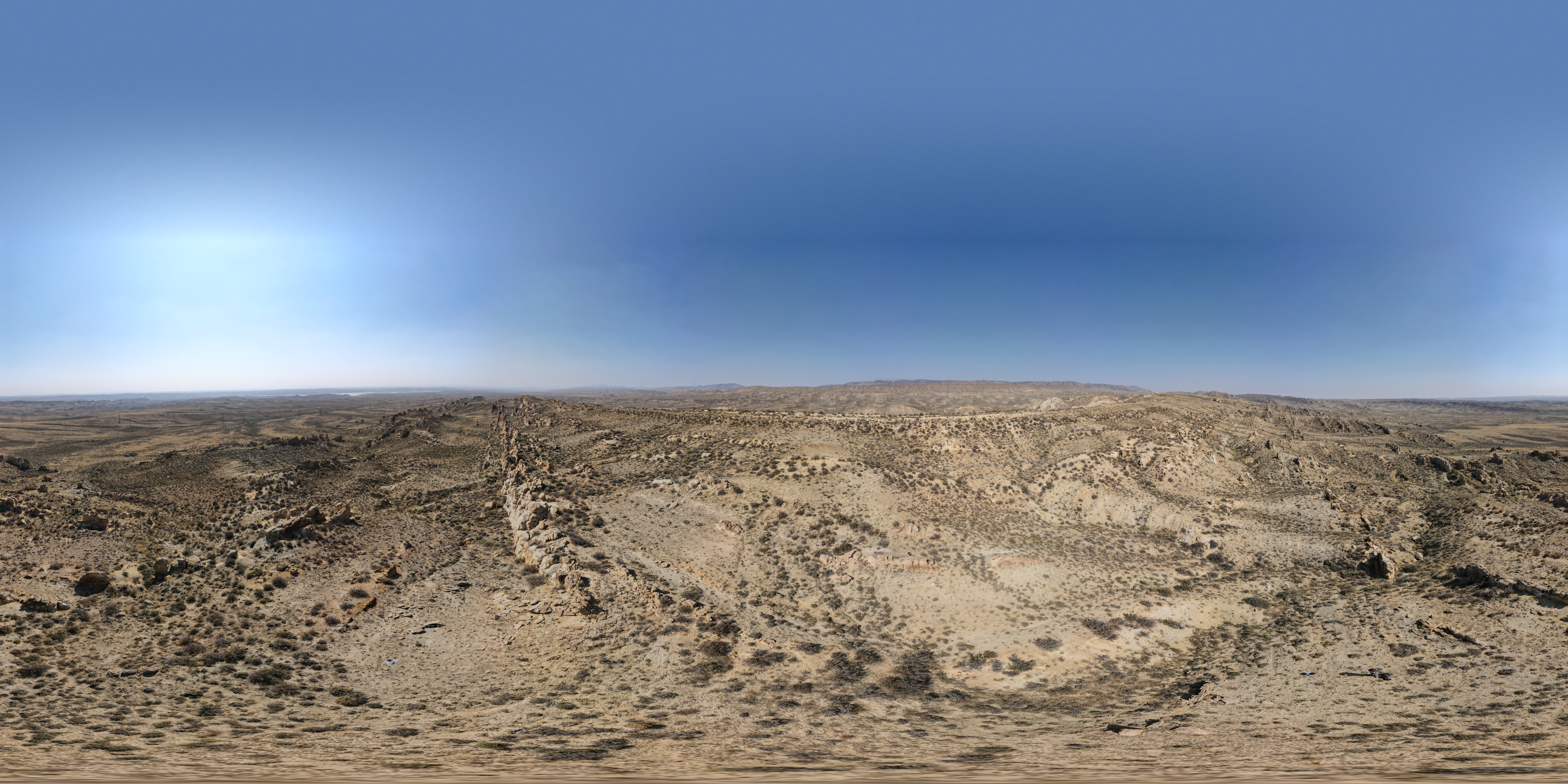
The modern landscape is freckled with these ancient fluvial sandstone bodies thrusting dramatically out of the ground. Topographically, this produces a rugged terrain that is really breathtaking, and like nowhere else I have seen before.
You’ll probably want to right-click and open that image in a new tab and zoom in on it. The image is a panoramic photo-mosaic looking west-to-north-to-east moving from the left half to the center and to the right half of the image. This panoramic image highlights just how many of these channels cover the landscape.
I was in the field to scout the area and generate data for my Postdoc work. The goal was to find a field site to document fine-scale fluvial strata in high resolution, e.g., recording every 1 cm bed. More on that another time!
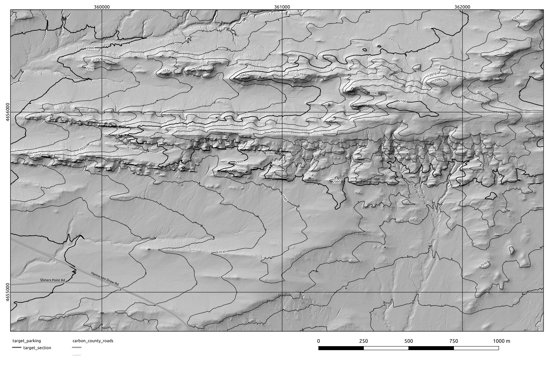
Bonus topographic / hillshade map of the field area:


