Field work — Wax Lake Delta
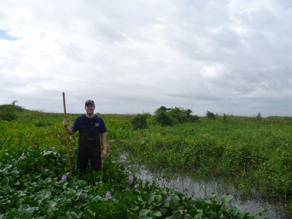
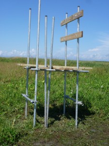
I was recently a participant on a field excursion with a crew out of the University of Texas to the Wax Lake Delta where they have ongoing projects. We simply went out to build some platforms that the research group will later place some long-term monitoring equipment on. Below is a satellite image of the Wax Lake Delta.
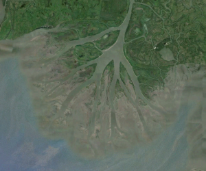
The WLD is a really interesting location for study because it’s entire history is well documented. The US ACE created a canal for flood control from the Atchafalaya River (really the Wax Lake) to the Gulf of Mexico in 1942, and the entire delta has been built by rapid deposition since then. The delta is therefore the site of numerous delta formation and autogenic process studies.
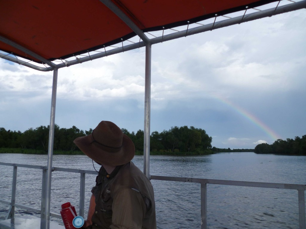
Below are a few more pictures from the field work, including one of the platforms we built.